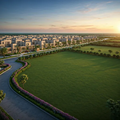
“Regional development begins with understanding the land, its existing uses and the communities that depend on it.”
Across the wider Mumbai Metropolitan Region (MMR), the scope of development is undergoing a generational expansion. From the coastal stretches of Alibag and the emerging corridors of Pen and Panvel to the northern industrial belts of Palghar, growth is reaching far beyond the historical boundaries of the island city.
Yet sustainable regional transformation cannot happen in the dark. It begins with establishing a meticulous, verifiable baseline of what currently exists on the ground.
The completion of the Mumbai Metropolitan Region Development Authority’s (MMRDA) Existing Land Use (ELU) reports for Mumbai 3.0 and Mumbai 4.0 represents an important and welcome step in building that foundational understanding.
Covering approximately 2,008 square kilometres across 565 villages, these reports map existing settlements, infrastructure, agricultural land, topography, and delicate environmental systems across the designated growth zones. Completed in a record two-and-a-half months, this comprehensive exercise establishes an objective, transparent picture of the region before transformative zoning and statutory development decisions are finalized.
Why Land-Use Information Matters
As regions expand, planning decisions need to account for much more than physical construction and headline connectivity. Residential settlements, employment centres, transport networks, agricultural holdings, and environmentally sensitive areas all actively influence how a region evolves and functions over decades.
Historically, urban expansion often occurred through reactive sprawl—building roads first and realizing only later that natural watercourses were obstructed, fertile farmland was consumed without compensation, or civic utilities were grossly undersized.
A detailed, ground-truth understanding of existing land conditions allows planners to shift from reactive problem-solving to proactive master planning. It helps authorities identify precise infrastructure requirements, assess competing land-use demands, and make far more informed decisions about future growth.
Balancing industrial zones, residential townships, and logistics nodes with agricultural reservations and local village settlements prevents zoning conflicts and legal friction before land acquisition commences.
Accurate topographic mapping highlights flood plains, wetlands, and elevation changes early, ensuring that stormwater canals, high-tension lines, and arterial roads are sized to withstand extreme weather events.
Technology-Led Mapping and Digital Planning Tools
The methodology behind these ELU reports demonstrates how modern urban governance can leverage technological precision. MMRDA deployed aerial LiDAR surveys, high-resolution satellite imagery, Differential GPS (DGPS) ground control, and GIS-based cadastral mapping, verified through direct field assessments.
Technology-led mapping and digital planning tools significantly strengthen regional planning by replacing outdated manual paper surveys with a living, multi-layered geospatial database. MMRDA’s stated roadmap to use this data for digital twins and scenario modelling will allow planners to simulate how different zoning choices impact traffic congestion, utility demands, and local ecology before laying a single brick.
However, the quality of planning ultimately depends on how effectively this information is interpreted and applied. Data alone does not build livable cities—insightful policy and human-centric execution do.
Spans 324 sq. km across 124 villages in Pen, Uran, and Panvel. Anchored by the Navi Mumbai International Airport (NMIA), JNPA port expansion, Atal Setu (MTHL), and the Virar-Alibaug Multi-Modal Corridor.
Spans 1,007 sq. km across 224 villages. Encompasses Tarapur MIDC, a 40-km coastline, and tribal settlements, positioning the corridor as an industrial, logistics, and coastal tourism epicentre.
Covers 677 sq. km across 217 villages. Balances coastal tourism, beaches, and historic forts with port-led logistics and rapid connectivity to South Mumbai via Ro-Pax and water transit.
Balancing Development With Responsibility
In my view, the objective of regional planning should not simply be to accommodate growth, but to guide it responsibly. Rapid urbanisation without conscience inevitably creates fragmented, unsustainable settlements that burden future generations.
Development must consider local communities, environmental safeguards, access to essential services, and the long-term sustainability of the surrounding area. It is notable that approximately 45% of the surveyed 2,008 sq. km falls under forests, wetlands, and green classifications. Protecting these natural flood buffers and biodiversity reservoirs is not an obstacle to growth; it is an absolute prerequisite for climate-resilient living.
Land-use reports provide an indispensable foundation for these decisions, but they are only one stage of the planning process. Their findings must inform appropriate, statutory Development Plans (DP), followed by transparent public consultation, statutory government approvals, and disciplined, effective implementation.
-
1
Cross-Reference Sanctioned Zoning Against 7/12 Land Records: Never rely on word-of-mouth assurances. Verify that the plot's permitted statutory zoning in the ELU and Draft DP aligns with your intended residential or commercial use.
-
2
Scrutinize Environmental and Water Buffer Lines: Ensure parcels sit clear of Coastal Regulation Zones (CRZ), river flood retention buffers, and designated green zones where civil construction is strictly barred.
-
3
Verify Gazetted Infrastructure Rights-of-Way (RoW): Identify planned multi-modal corridors, high-speed rail lines, and ring roads to confirm whether a plot gains valuable road frontage or faces potential road-widening reservations.
-
4
Demand Legally Clear Freehold Title with Collector Sanctions: Insist on 100% marketable titles and Non-Agricultural (NA 44) permissions rather than buying into unapproved subdivisions on agricultural land.
The completion of these reports is therefore a meaningful milestone for Maharashtra’s urban trajectory. The next challenge is to use this rich database to support coordinated planning, balanced regional development, and equitable economic opportunity across all 565 villages.
“For any region preparing for its next phase of growth, understanding the land today is essential to making better decisions for tomorrow.”

About Binod Agarwal
Binod Agarwal brings 16 years of service in the Indian Armed Forces and over 26 years of real estate, governance, and business experience across Navi Mumbai and Maharashtra. His philosophy has always anchored in clear titles, ground verification, and long-term generational wealth.